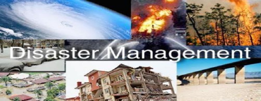
Disaster Management

Efficient GIS systems protect the environment and are developed to assist risk and disaster management.
Flood damage estimation
Governments use GIS data to map flood risk areas and can use the information to coordinate relief efforts.
Natural Resources Management
With the help of GIS information, forests can be adequately maintained and managed. It is especially crucial for the allocation and geographic distribution of water, one of the more critical environmental constituents.
