Geo Survey & Geospatial

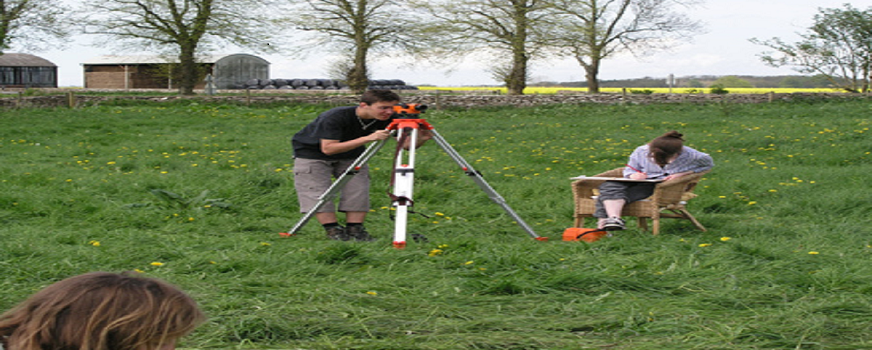
Land Surveying courses are designed to prepare participants to undertake field surveys using state-of-the-art equipment and execute large land survey projects. Typical applications include:
- Survey for land records
- Digitization of survey maps
- Forestry and agriculture
- Coastal zone management
- Disaster management
- Archeological surveys
- Infrastructure / Utilities
Geospatial
Programs in GIS and Geoinformatics are designed to meet indus-try needs. Modular in structure, the pedagogical foundations of program content and delivery offer flexibility, and hinge upon experiential learning through practice-driven case studies and project work.
- Fundamental Concepts of GIS
- GIS for Beginners
- Advanced GIS
- Foundations of Photogrammetry
- Foundations of LiDAR
- AutoCAD
