Remote Sensing

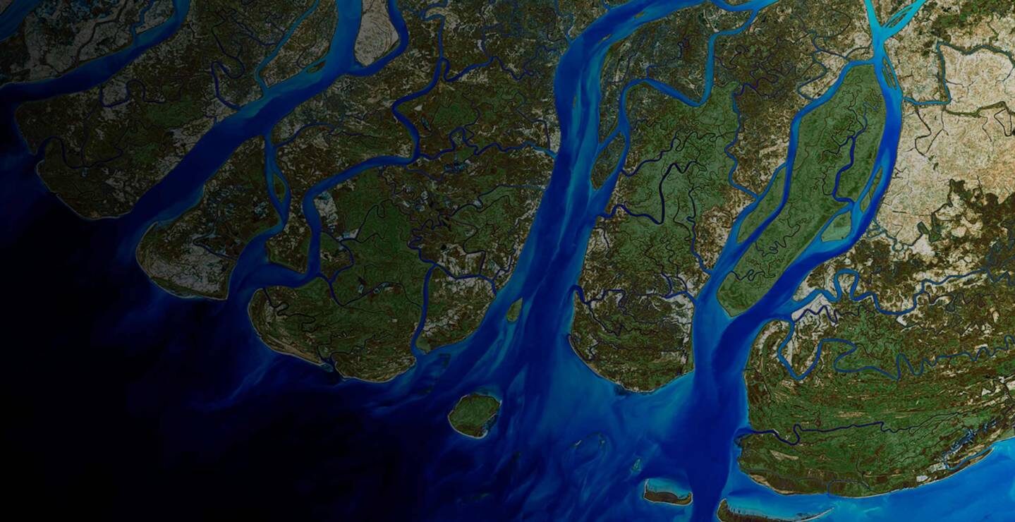
GISTECH provides image processing services to create and update geographic datasets for a variety of end users. These range from land use planning, utility planning, urban and rural infrastructure planning using high resolution imagery to forest mapping, watershed management, natural resource mapping, and mineral mapping using low resolution imagery. We have extensive experience in image data conversion, processing, interpretation, analysis and processing of airborne and satellite imagery and have worked with most of the commercially available satellite data products. Our remote sensing imagery services range from satellite image to Aerial Photo listing image processing, interpretation and image analysis for various applications. Our remote sensing services are used for applications such as land use planning, natural resource management, watershed management, wasteland mapping, corridor mapping for industrial zone, dam site identifications etc. Our services include: Terrain Mapping & Digital Elevation Modeling | Land use/ Land cover Classification | Seamless raster data products and vector outputs | Change Detection Mapping & Analysis
LiDAR

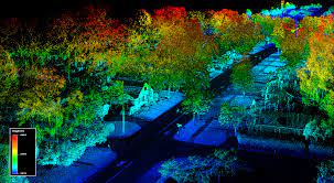
GISTECH offers processing of high precision LiDAR datasets and deliver the outputs in computer-aided design (CAD) and geographic information system (GIS) formats. We utilize data from Mobile Mapping or UAV for processing. Our services include : Corridor mapping | 3D City modeling | Digital Elevation Model | Land Use and Land cover Classification | Structures and various objects Classification | Feature Extraction like buildings, trees, roads, roadside features, power lines etc.
