Photogrammetry Principle

Photogrammetry is the science and technology of obtaining reliable information about physical objects and the environment through the process of recording, measuring and interpreting photographic images and patterns of electromagnetic radiant imagery and other phenomena.
Terrestrial (Close Range) Photogrammetry

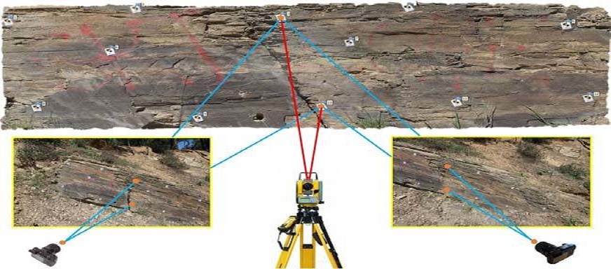
Close-range terrestrial digital photogrammetry (CRTDP) and terrestrial laser scanning (TLS) are being increasingly used as mapping tools to describe the morphology of natural and engineered rock slopes in 3D. “Close-range” refers to a camera/scanner-object distance of up to about 300 m (Wolf and Dewitt, 2000).
Aerial Photogrammetry

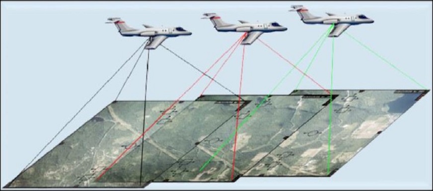
Aerial digital photogrammetry, often used in topographical mapping, begins with digital photographs or video taken from a camera mounted on the bottom of an airplane.
