Surveying

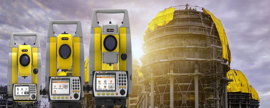
Surveying involves measuring the location of objects on earth, and more organizations are using Global Navigation Satellite Systems (GNSS) for this function. This data incorporated into a GIS system can estimate area and prepare digital maps.
Geology
Geologists use GIS data to analyze soil, assess seismic information, and create 3D displays of geographic features. It can also be used to analyze rock characteristics, and identify the best location for different functions.
